Analysis of information sources in references of the Wikipedia article "Liang Island" in English language version.
西距北竿、東距東引均為二萬六千公尺,北距大陸福建省霞埔縣僅帶水之隔,距離最近之魁山島為一萬九千二百五十公尺。
Larne I.{...}Larne Island, Fukien . 26.20 N 120.12 E
Larne Island ... ... 拉你島 Fukien ... ... 福建 ... 26.20N 120.12E
LANGTAO (LARNE ISLAND)
N. 11° E. from Larne rock, distant 5 1/2 miles, is Larne islet; it bears from the high peak of Changche shan N. 58° E., 14 miles. It is about 200 feet high, with large boulders sticking up here and there. Near the summit are three houses, and off its northern and southern ends are ledges of rocks. N. 72° W., 7 1/2 miles from Larne island, and bearing from Changche shan peak N. 25° E., 11 miles, is another patch of rocks, about 40 feet above the sea.
The Liangdao Man skeletal remains were discovered on the Liang Island of the Matsu archipelago in December 2011 and transported to the Matsu Folklore Museum. Matsu is located on the Min River estuary, 24 km from Fujian and 180 km northwest of Taiwan
面臨休漁期結束,馬祖海巡隊開始擴大執行威力掃蕩專案勤務,16日上午8時即發現一目標向東航行將進入東引鄉亮島海域限制水域,即前往辨識後發現該船為無船名中國漁船,要求停船受檢,該船發現巡防艇後隨即蛇行逃逸拒絕接受檢查,經海巡艇加俥追緝後強靠登檢,查船上含船長共4人,漁具為蟹籠110個,漁獲約20公斤全數海拋
Today, Gaodeng and Liangdao, the only islands where the military remains stationed, are still shrouded in mystery, not having been opened to visitors.
為北竿鄉最東北之一處島嶼。{...}亮島,原名「橫山」又名「浪島」,行政區域隸屬連江縣北竿鄉;坐落於北竿島與東引島之間,距離此兩島各約27公里,為北竿鄉最東北之一處島嶼。地理位置在福建省閩江口外,與大陸所屬蜘蛛島相距約24公里,距雙峰島約26公里,與其他沿海灣澳港市相距僅約 20-30公里 。島長約 1,400公尺,最寬處約250公尺,面積約 0.35平方公里。
Now, only the secretive military-controlled islands of Gaodeng and Liang are closed to the public.
1949年後,亮島斷斷續續為中共所佔領。然而,因亮島位於北竿與東引中間,在戰略上與臺馬航線中佔重要位置。1951年7月15日,「反共救國軍」海上特種突擊隊中隊長李承山奉命率領隊員6人,趁夜色登陸上岸,並在制高點豎立國旗,自此亮島歸中華民國國軍管轄。嗣後於民國41年、42年間,因補給不易,設施不足而兩度撤防。至1965年3月17日,以實施「北極星演習」之名,派遣加強步兵連進駐亮島,直到迄今。1966年,前總統蔣經國 (時任國防部長 ) 抵達亮島視察,將「浪島」正式定名為「亮島」,期許可以「島立天中,亮照大陸」。
三、面積 北竿鄉全境總面積9.3平方公里,佔全縣總面積29.60平方公里的31﹪,僅次於南竿鄉的35﹪,為全縣次大的鄉。其中北竿本島6.43平方公里,高登島1.39平方公里,大坵島0.53平方公里,亮島0.35平方公里,小坵0.16平方公里。
These islands are mostly spread between 25°30'-28°44' of north latitude and 119°51'-120°20' of east longitude, which mainly include Nan Kan, Pei Kan, Kaoteng, Liang Island, Ta Chiu, Hsiao Chiu, Tung Chu, Hsi Chu, Tungyin, Hsiyin, etc, ten bigger islands and twenty more scattered no man islands.
民國40年7月15日,海上特種突擊中隊長李承山率領6名隊員,暗夜搭艇登上昔稱浪島的「亮島」,當他談到青天白日滿地紅國旗在島上飄揚,{...}李承山表示,在浪島完成地形偵察,插上國旗的時間也經過縝密的規劃,國旗如果太早插,容易被對岸發現,「我們等到要離開前才插,插好,立刻撤退。」,而天亮後的亮島景象荒涼,恐怖的氣氛,更是令他至今難忘。
民國38年(1949)後,亮島斷斷續續為中共所佔領。然亮島位於北竿與東引中間,在戰略與臺馬航線上具重要位置,故1951年7月15日,「反共救國軍」海上特種突擊中隊隊長李承山先生奉命率領六人,趁夜色登陸上岸,並在至高點豎立國旗,至此,亮島歸國軍駐守迄今。
民國55年(1966),時任國防部長的蔣經國先生抵達亮島視察,並將 「浪島」正式定名為「亮島」,期許 可以「亮照大陸,島立天中」。
地政事務所名稱(代碼) 連江(ZA) 鄉鎮市區名稱(代碼) 北竿鄉(02) 段 小段 代碼 備註{...}亮島 0035 調整
The county comprises 36 islands and islets, including Nangan Island, Beigan Island, Gaodeng Island, Liang Island, Daqiu Island, Xiaoqiu Island, Dongju Island, Xiju Island, Dongyin Island, Xiyin Island, and affiliated islands.
The Liangdao Man skeletal remains were discovered on the Liang Island of the Matsu archipelago in December 2011 and transported to the Matsu Folklore Museum. Matsu is located on the Min River estuary, 24 km from Fujian and 180 km northwest of Taiwan
The Liangdao Man skeletal remains were discovered on the Liang Island of the Matsu archipelago in December 2011 and transported to the Matsu Folklore Museum. Matsu is located on the Min River estuary, 24 km from Fujian and 180 km northwest of Taiwan
今天一整個上午,阿扁的足跡踏遍南竿、北竿、東引、亮島、高登、東莒和西莒,從官兵弟兄們的眼神裡,阿扁看見一份堅持,也看見一股希望。
Replicas of Liang Island (亮島) fossils, two ancient human skeletons excavated from Taiwan's outlying Matsu archipelago in Lienchiang County, went on display in Taipei yesterday.
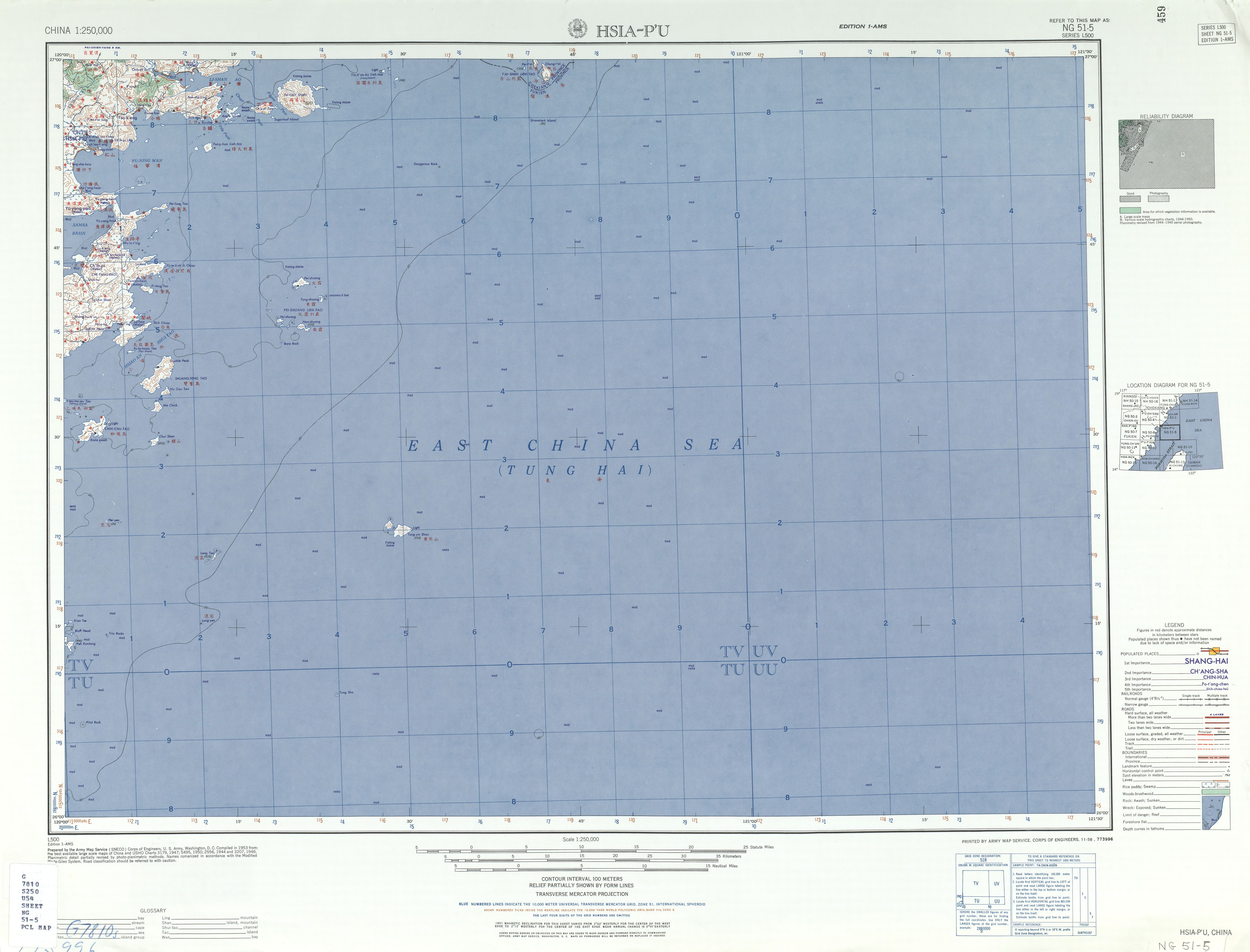
Lang Tao 浪島
為北竿鄉最東北之一處島嶼。{...}亮島,原名「橫山」又名「浪島」,行政區域隸屬連江縣北竿鄉;坐落於北竿島與東引島之間,距離此兩島各約27公里,為北竿鄉最東北之一處島嶼。地理位置在福建省閩江口外,與大陸所屬蜘蛛島相距約24公里,距雙峰島約26公里,與其他沿海灣澳港市相距僅約 20-30公里 。島長約 1,400公尺,最寬處約250公尺,面積約 0.35平方公里。
Replicas of Liang Island (亮島) fossils, two ancient human skeletons excavated from Taiwan's outlying Matsu archipelago in Lienchiang County, went on display in Taipei yesterday.
The county comprises 36 islands and islets, including Nangan Island, Beigan Island, Gaodeng Island, Liang Island, Daqiu Island, Xiaoqiu Island, Dongju Island, Xiju Island, Dongyin Island, Xiyin Island, and affiliated islands.
These islands are mostly spread between 25°30'-28°44' of north latitude and 119°51'-120°20' of east longitude, which mainly include Nan Kan, Pei Kan, Kaoteng, Liang Island, Ta Chiu, Hsiao Chiu, Tung Chu, Hsi Chu, Tungyin, Hsiyin, etc, ten bigger islands and twenty more scattered no man islands.
地政事務所名稱(代碼) 連江(ZA) 鄉鎮市區名稱(代碼) 北竿鄉(02) 段 小段 代碼 備註{...}亮島 0035 調整
Now, only the secretive military-controlled islands of Gaodeng and Liang are closed to the public.
Today, Gaodeng and Liangdao, the only islands where the military remains stationed, are still shrouded in mystery, not having been opened to visitors.
地政事務所名稱(代碼) 連江(ZA) 鄉鎮市區名稱(代碼) 北竿鄉(02) 段 小段 代碼 備註{...}亮島 0035 調整