New York State Highway Law, Section 349-c-2.2: "Such sidewalks, facilities and appurtenances shall be maintained or shall be continued to be maintained, as the case may be, by the city in which they are located, or by the agency or unit owning or having control and jurisdiction thereof." Retrieved August 5, 2018.
New York State Department of Transportation (June 16, 2009). 2008 Traffic Volume Report for New York State(PDF). Albany: New York State Department of Transportation. pp. 50–57. Archived from the original(PDF) on September 27, 2012. Retrieved August 5, 2018.
New York State Department of Transportation (March 2, 2010). "Bronx County Inventory Listing"(CSV). Albany: New York State Department of Transportation. Retrieved December 19, 2010.
New York State Department of Transportation (March 2, 2010). "Clinton County Inventory Listing"(CSV). Albany: New York State Department of Transportation. Retrieved December 19, 2010.
New York State Department of Transportation (1979). Beekmantown Digital Raster Quadrangle (Map). 1:24,000. Albany: New York State Department of Transportation. Retrieved January 20, 2010.
New York State Department of Transportation (1979). West Chazy Digital Raster Quadrangle (Map). 1:24,000. Albany: New York State Department of Transportation. Retrieved January 20, 2010.
New York State Department of Transportation (1979). Mooers Digital Raster Quadrangle (Map). 1:24,000. Albany: New York State Department of Transportation. Retrieved January 20, 2010.
New York State Department of Transportation (1989). Dover Plains Digital Raster Quadrangle (Topographic map). 1:24,000. Albany: New York State Department of Transportation. Retrieved January 20, 2010.
United States Geological Survey (1953). Copake Quadrangle: New York–Massachusetts (Topographic map). 1:24,000. 7.5 Minute Series. Reston, VA: United States Geological Survey. Archived from the original on December 19, 2014. Retrieved July 11, 2008.
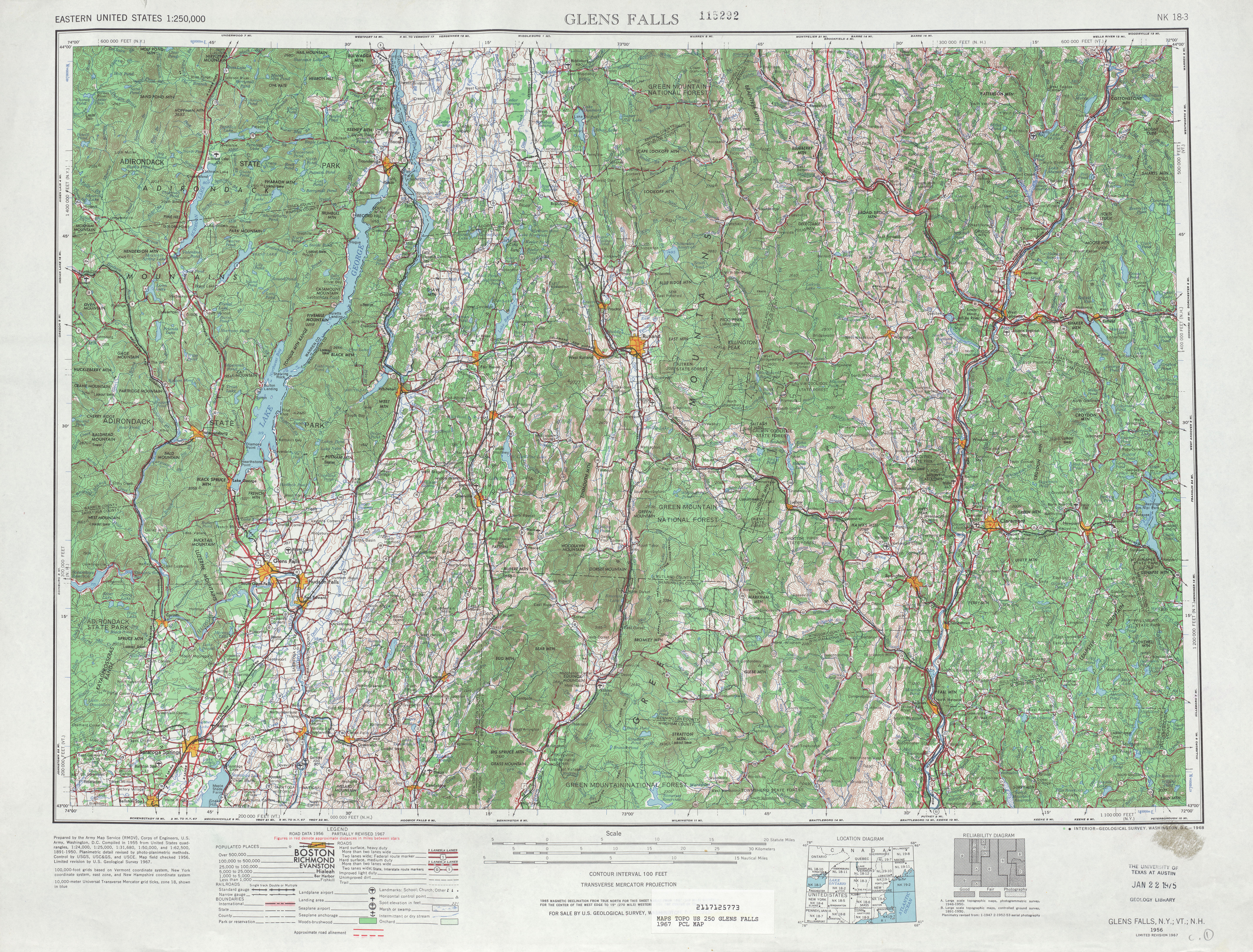
United States Geological Survey (1967). Glens Falls, NY Quadrangle (Topographic map). 1:250,000. Eastern United States 1:250,000. Reston, VA: United States Geological Survey. Retrieved December 7, 2007.
web.archive.org
New York State Department of Transportation (June 16, 2009). 2008 Traffic Volume Report for New York State(PDF). Albany: New York State Department of Transportation. pp. 50–57. Archived from the original(PDF) on September 27, 2012. Retrieved August 5, 2018.
Westchester County Department of Public Works (2006). Westchester County and State Road Map(PDF) (Map). c. 1:72,400. White Plains, NY: Westchester County Department of Public Works. Archived from the original(PDF) on December 29, 2009. Retrieved November 30, 2007.
United States Geological Survey (1953). Copake Quadrangle: New York–Massachusetts (Topographic map). 1:24,000. 7.5 Minute Series. Reston, VA: United States Geological Survey. Archived from the original on December 19, 2014. Retrieved July 11, 2008.
westchestergov.com
Westchester County Department of Public Works (2006). Westchester County and State Road Map(PDF) (Map). c. 1:72,400. White Plains, NY: Westchester County Department of Public Works. Archived from the original(PDF) on December 29, 2009. Retrieved November 30, 2007.
New York State Department of Economic Development, Division of Tourism; Map Works (2008). New York State map: I [love] NY (Map). [c. 1:775,000]. Albany: New York State Department of Economic Development, Division of Tourism. OCLC231653690.[full citation needed]
New York State Department of Economic Development, Division of Tourism; Map Works (2007). I Love New York's 30th Anniversary Map (Map). [c. 1:775,000]. Albany: New York State Department of Economic Development, Division of Tourism. OCLC123904093.[full citation needed]
New York State Department of Economic Development, Division of Tourism; Map Works (2009). New York State Map (Map). [c. 1:775,000]. Albany: New York State Department of Economic Development, Division of Tourism. OCLC505217389.[full citation needed]