Washington State Legislature (March 12, 1913). "Chapter 65: Classifying Public Highways". Session Laws of the State of Washington (1913 ed.). Olympia, Wash.: Washington State Legislature. p. 221. Retrieved November 25, 2010.
Washington State Legislature (March 19, 1915). "Chapter 164". Session Laws of the State of Washington (1915 ed.). Olympia, Wash.: Washington State Legislature. p. 488. Retrieved November 25, 2010.
Washington State Legislature (March 19, 1923). "Chapter 185". Session Laws of the State of Washington (1923 ed.). Olympia, Wash.: Washington State Legislature. p. 632. Retrieved November 25, 2010.
Washington State Legislature (March 17–18, 1937). Session Laws of the State of Washington (1937 ed.). Olympia, Wash.: Washington State Legislature. pp. 942, 1011–1012. Retrieved November 25, 2010.
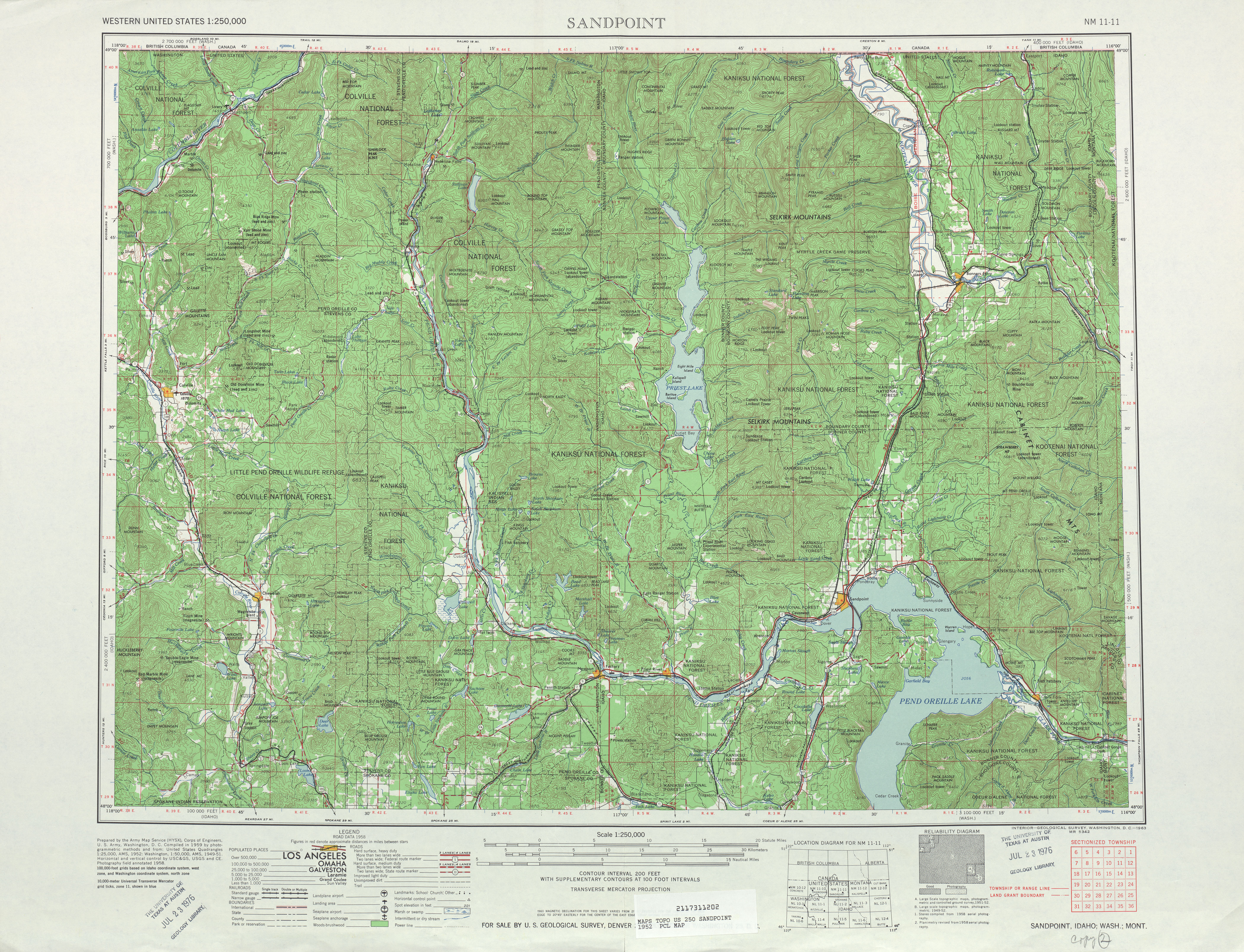
Sandpoint, 1966 (Map). 1:250,000. Cartography by United States Army Corps of Engineers. United States Geological Survey. 1966. Retrieved November 25, 2010.
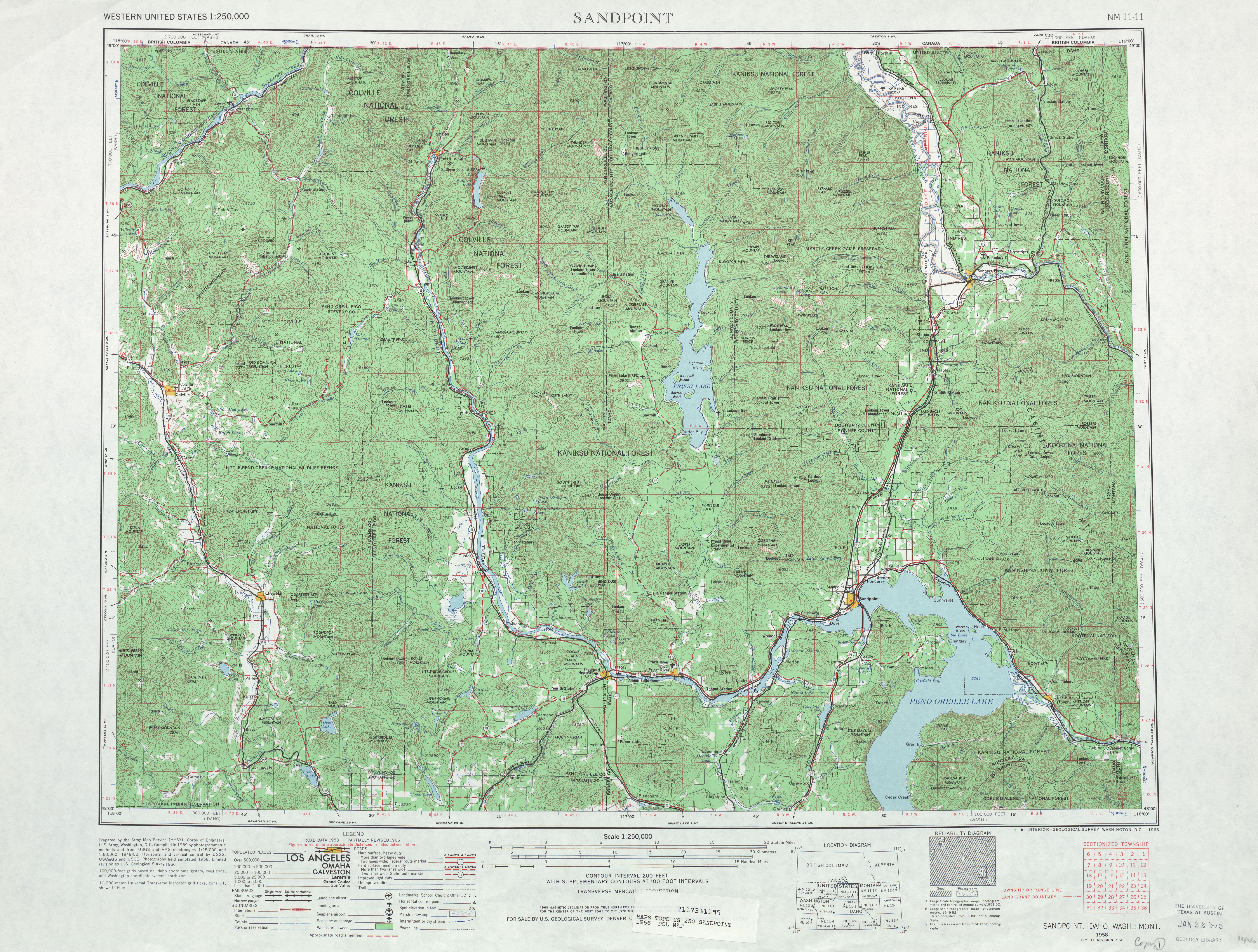
Sandpoint, 1958 (Map). 1:250,000. Cartography by United States Army Corps of Engineers. United States Geological Survey. 1958. Retrieved November 25, 2010.
Washington State Department of Transportation (2010). "Travel by Ferry". Retrieved November 25, 2010.
Washington State Rail System, 2009(PDF) (Map). Cartography by WSDOT State Rail and Marine Office. Washington State Department of Transportation. 2009. Retrieved November 25, 2010.
Colville (1929) (Map). 1:125,000. Cartography by United States Army Corps of Engineers. United States Geological Survey. 1963. Retrieved November 25, 2010.
Marcus (1942) (Map). 1:125,000. Cartography by United States Army Corps of Engineers. United States Geological Survey. 1942. Retrieved November 25, 2010.