Analysis of information sources in references of the Wikipedia article "Washington State Route 530" in English language version.
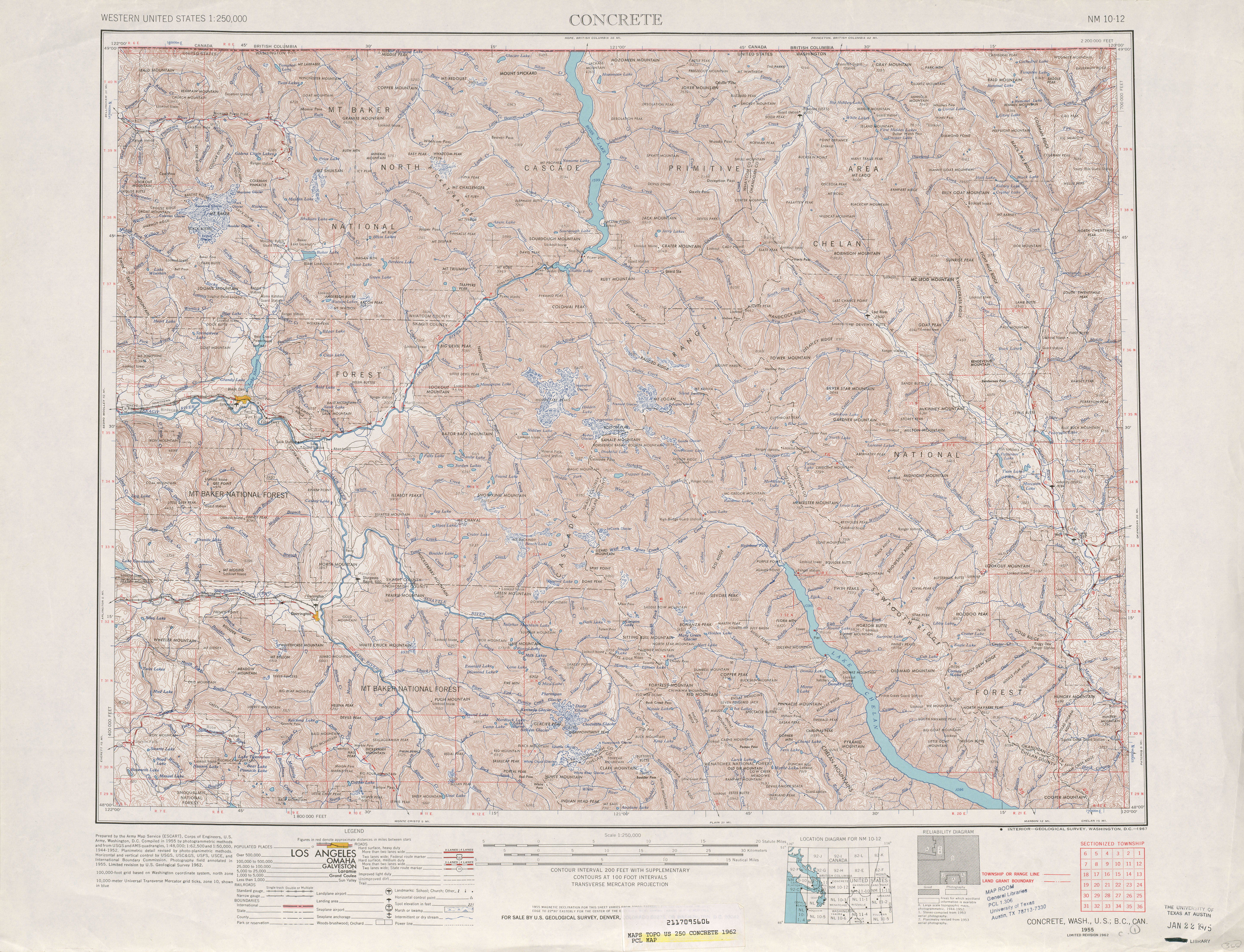
Beginning at a junction with state route number 5 ((at Conway, thence southerly by way of Stanwood, thence southeasterly to a junction with state route number 5, thence easterly to a junction with state route number 9 at)) in the vicinity west of Arlington, thence easterly ((to)) and northerly by way of Darrington((, thence northerly)) to a junction with state route number 20 ((at)) in the vicinity of Rockport.
(e) Secondary State Highway No. 1E; beginning at Conway on Primary State Highway No. 1, thence in a southerly direction by the most feasible route by way of East Stanwood, thence in a southeasterly direction by the most feasible route to a junction with Primary State Highway No. 1, thence in an easterly direction by the most feasible route to Arlington on Secondary State Highway No. 1A.
There is hereby established as a branch of Primary State Highway No. 1 a secondary state highway to be known and referred to as Secondary State Highway No. 1Y as follows: Beginning at a junction with Primary State highway No. 1 in the vicinity east of East Stanwood; thence in a westerly direction by the most feasible route to a junction with Secondary State Highway 1E in the vicinity of East Stanwood; thence in a westerly direction by the most feasible route by way of Stanwood and over a bridge to a point on Camano Island known as McEachern's Corner.
U.S. 2 was closed at Monroe, as was S.R. 530 between Silvana and Stanwood.
Beginning at a junction with state route number 5 ((at Conway, thence southerly by way of Stanwood, thence southeasterly to a junction with state route number 5, thence easterly to a junction with state route number 9 at)) in the vicinity west of Arlington, thence easterly ((to)) and northerly by way of Darrington((, thence northerly)) to a junction with state route number 20 ((at)) in the vicinity of Rockport.